Adjunct Faculty

Charles Julian Altendorf
Instructor - Adj, A&S Geography Adjuncts
His experience includes managing digital mapping records, implementing open-source GIS solutions, training staff and contractors, and supporting field data collection initiatives. While at Hardin County Water District No. 1, he helped lead a GIS modernization effort that earned both a Kentucky Association of Mapping Professionals (KAMP) Exemplary Systems Award and a URISA ESIG Certificate of Achievement
Charles is actively involved in the geospatial profession and served as President of the Kentucky Association of Mapping Professionals (KAMP), following previous service as a board member. He is passionate about professional development, mentoring emerging GIS professionals, and advancing the application of geospatial technologies within the utility industry
He holds a Bachelor of Arts in Geography along with a Master of Science in Digital Mapping from the University of Kentucky's New Maps Plus program. He also earned a certificate in QGIS for Hydrological Applications from the IHE Delft Institute for Water Education.
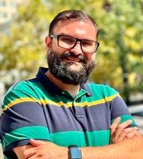
Jake Berghaus Berghaus
Instructor - Adj, A&S Geography Adjuncts
Braunstein Hall

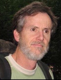
Christopher Carr
Research Assistant Professor- Adjunct, A&S Geography Adjuncts
401D Braunstein Hall
Dr. Christopher Carr: After retiring from a nearly 30 year career in Engineering at a multinational corporation I returned to school, receiving my PhD in 2014 from the Department of Geography at University of Cincinnati. My research is focused on human-environmental impacts, both ancient and modern. I study modern impacts within the field of Recreation Ecology—particularly impacts from camping, hiking and rock climbing. In the area of ancient impacts, I use spatial analysis to examine Landscape Archaeology issues such as settlement pattern, agricultural potential and hydrology. I work primarily in the areas of the lowland Maya in Central America and in the American Southwest. For my full CV please follow the link: homepages.uc.edu/~carrcr/CV.htm.
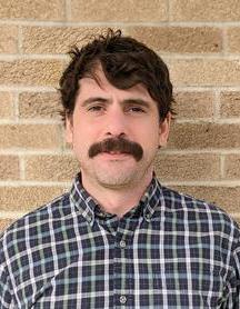
Matt James DiBona
Adjunct Instructor , A&S Geography Adjuncts
Braunstein Hall
Matt specializes in GIS analytics, urban sustainability, and innovative funding frameworks that create long-term support for public space and forestry programs. His work includes building the Cincinnati Greenspace Model, Capital Funding Model, and Park Equity Accelerator in partnership with the Trust for Public Land — projects that have contributed to Cincinnati’s national recognition as a top city for park access and quality.
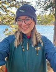
Sarah Grace Goodrich
Asst Professor - Adj (F9), A&S Geography Adjuncts
She has been an adjunct for her alma mater for 5 years. She has taught a variety of introductory level geography and environmental science courses.
Sarah's work currently focuses on managing volunteer water quality monitoring groups, remote sensing research, public communication about HABs, and routine lake sampling.
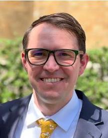
Jack Alexander Humason
Instructor - Adj, A&S Geography Adjuncts
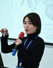
Ruijia Hu
Instructor - Adj, CC Geology/Geography
Braunstein Hall
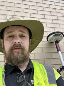
Joshua Keith Murphy
Instructor - Adj, A&S Geography Adjuncts
Braunstein Hall
In addition to his academic background, Joshua leverages 17 years of professional geospatial analysis experience within local government. He previously served as a Senior Computer Programmer for the City of Cincinnati, which included a ten-year tenure with the Cincinnati Area Geographic Information System (CAGIS). Most recently, he has spent seven years administering Cityworks, the enterprise asset management platform for the Metropolitan Sewer District of Greater Cincinnati (MSD).
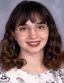
Taylor Marie O'Rourke
Instructor - Adj, A&S Geography Adjuncts
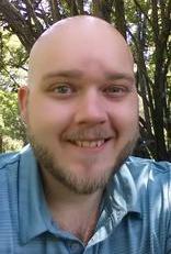
Hayden Owens
Instructor - Adj, CC Geology/Geography
Geology-Physics Building
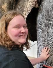
Madison White
Instructor - Adj, A&S Geography Adjuncts
Braunstein Hall
Madison specializes in urban geography, statistics, and public utilities. Her work includes creating models to track SD1 owned/maintained assets, properties that do/do not need septic, and all apartments and duplexes within Boone, Kenton, and Campbell Counties. She developed maps of Covid-19 being traced in wastewater in partnership with the University of Lousiville, as well as other public safety projects.